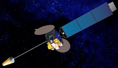
Himawari

ผู้ดำเนินการ: สำนักงานอุตุนิยมวิทยาญี่ปุ่น.
วันปล่อย: 02/2005 (MTSAT-1R), 02/2006 (MTSAT-2)
ประเภทของวงโคจร: วงโคจรค้างฟ้า
ตำแหน่ง: 145°E
เครื่องมือวัด: เรดิโอมิเตอร์
เรดิโอมิเตอร์ทำการสแกนพื้นผิวโลกทีละเส้น; แต่ละเส้นจะประกอบด้วยลำดับขององค์ประกอบภาพที่แยกย่อยหรือพิกเซล. สำหรับแต่ละพิกเซล เรดิโอมิเตอร์นั้นจะตรวจวัดพลังงานการแผ่รังสีของแถบสเปกตรัมที่แตกต่างกัน. การวัดนี้จะถูกเข้ารหัสดิจิทอลและส่งผ่านไปยังสถานีภาคพื้นดินเพื่อดำเนินการประมวลผลขั้นต้น ก่อนที่ได้รับการเผยแพร่ไปสู่ประชาคมของผู้ใช้งาน.
| ช่องสัญญาณ | ความยาวคลื่น (µm) |
| VIS | 0.55 - 0.80 |
| IR1 | 10.3 - 11.3 |
| IR2 | 11.5 - 12.5 |
| IR3 | 6.5 - 7.0 |
| IR4 | 3.5 - 4.0 |